
🐾 Dog‑Friendly Dalby Forest at a Glance
🦮 Lead Rules: Dogs welcome; keep close, on a lead if recall is shaky, and stick to paths, especially April–June nesting season
🚶 Walk Options: Multiple waymarked trails from 0.6 km accessible loops to 7 km forest and viewpoint circuits
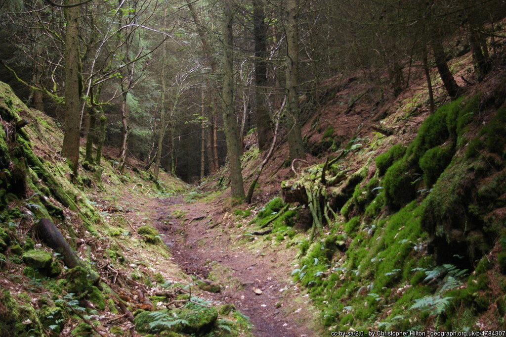
🌿 Terrain: Forest roads, gravel tracks, boardwalks and woodland paths; some hills and muddy sections
🐑 Wildlife & Stock: Deer, ground‑nesting birds and occasional livestock nearby – expect on‑lead stretches
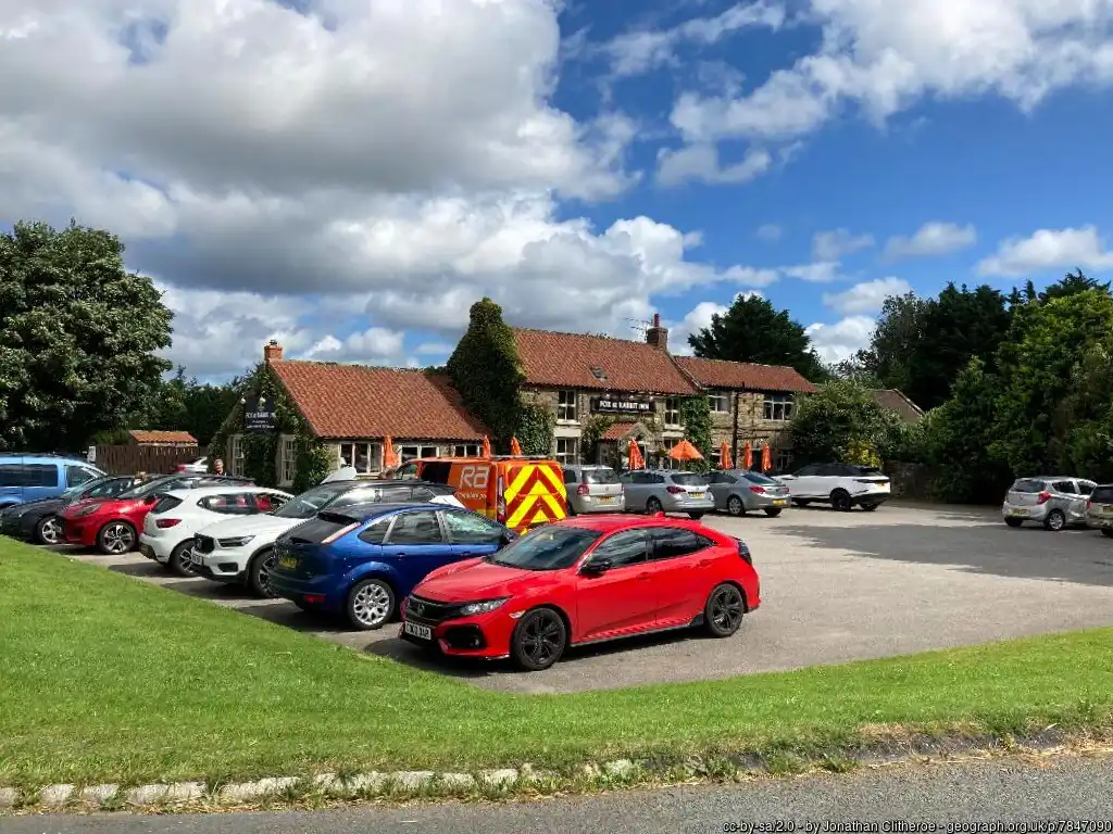
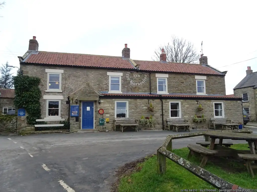
☕ Food & Drink: Cafe by Visitor Centre plus picnic areas throughout the forest
🚻 Facilities: Toilets, play areas, visitor centre, bike hire, waymarked trails and viewpoints
🅿️ Parking: Several pay‑and‑display car parks; all accessed via the main toll road with a day parking charge (membership gives free parking)
About
Dalby Forest sits on the southern slopes of the North York Moors National Park in North Yorkshire and is one of the largest managed forests in the region, covering roughly 3,500–8,500 acres depending on how the wider forest park is defined. It lies east of the market town of Pickering, reached via the A169, and forms part of the North Riding Forest Park alongside neighbouring forests such as Langdale and Cropton.
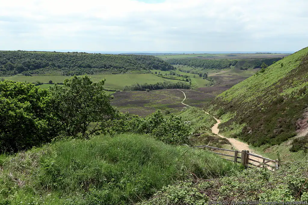
The landscape is a mix of conifer plantations, broadleaf woodland and dales with streams and clay- and sandstone-based soils, creating a varied backdrop for walking, cycling and wildlife watching. Dalby has become a major recreation hub in the Yorkshire Forest District, attracting hundreds of thousands of day visitors each year for waymarked trails, mountain biking, play areas, stargazing in its designated Dark Sky Discovery Site and family activities.
Dalby Forest is a big, varied dog‑walking destination with waymarked trails, a visitor hub and plenty of options for anything from a short leg‑stretch to a full‑day adventure.
The forest can get very busy. Aim for earlier or later in the day during school holidays, when the main valley is busy with bikes and families, and pick the outer car parks and trails for more peace. Bring water, a portable bowl and towels for muddy paws, as many paths hold water after rain, and streams and puddles are irresistible to most dogs. Finally, keep an eye on site notices at car parks for any temporary dog restrictions, forestry operations or fire‑risk warnings so you can adapt your route on the day.
Dog Access and Rules
There are no designated secure off‑lead areas, so plan as if you will be sharing tracks with bikes, runners and families and choose quieter trails if your dog is nervous.
Dalby follows the national “forest dog code”: keep your dog in sight, use a lead if recall is unreliable, and always pick up poo and bin or take it home. In bird‑nesting season (roughly mid‑April to the end of June), there is a specific request to keep dogs strictly to public paths and close by to protect wildlife, so this is not the place for free‑roaming at that time. Ticks are present in bracken and long grass, so a quick post‑walk check is essential, especially in warmer months.
Things To See & Do
These are just some of the walking options for you and your dog.
Short, easy loops
- Lakeside Trail at Staindale: 0.8 km fully accessible loop around the lake on boardwalks and good paths – ideal for older dogs or a gentle warm‑up.
- Nissen Hut Trail: Around 0.8 km accessible route from Adderstone area to the Nissen Hut sculpture, good if you want a quick sniff‑around and a photo stop.
Family‑friendly and accessible walks
- Ellerburn Red Trail (short 2.8 km, long 5.5 km): Follows roads and hard surfaces through Low Dalby Valley with pond views and easy gradients – great for buggies and mixed‑ability groups.
- Adderstone Rigg Trail (2–6.5 km): Forest paths and roads with the distinctive Adder Stone feature and big views; expect some gentle hills and lots of scent interest for dogs.
Longer forest and viewpoint trails
- Woodcock Way (5–7 km): Circles Staindale, Crosscliff and Yondhead Rigg with fine moorland views; mostly forest roads with some uneven stretches and climbs, good for active dogs needing a proper workout.
- Dalby Beck Yellow Trail (6.7 km): A hillier route from the visitor centre with top‑down views over Low Dalby Valley and the chance to detour to a wildlife hide.
- Pexton Moor Blue Trail (2.7 km) and Jerry Noddle Trail (4.5 km): Mix of forest roads and paths with big vistas over the Dalby Dales and Upper Langdale Valley – windy but rewarding on a clear day.
Check this external website for these and more detailed walking routes.
Access and Facilities
The main visitor hub at Low Dalby (pointer on our map) has toilets, a cafe, a play area and information boards, with several walking trailheads nearby. Across the forest, you will find signed car parks, picnic benches, viewpoints and some accessible routes with boardwalks and hard surfaces.